This project provides a graphical GeoTiff viewer application for your Linux distribution. #GeoTiff viewer #GPS map #Map waypoint #GeoTiff #GPS #Map
QLandkarte GT is an open source, cross-platform and free graphical application designed as the ultimate outdoor aficionado's utility, allowing users will be able to produce smaller map subsets that can be used on mobile devices, such as smartphones, GPSes or tablets.
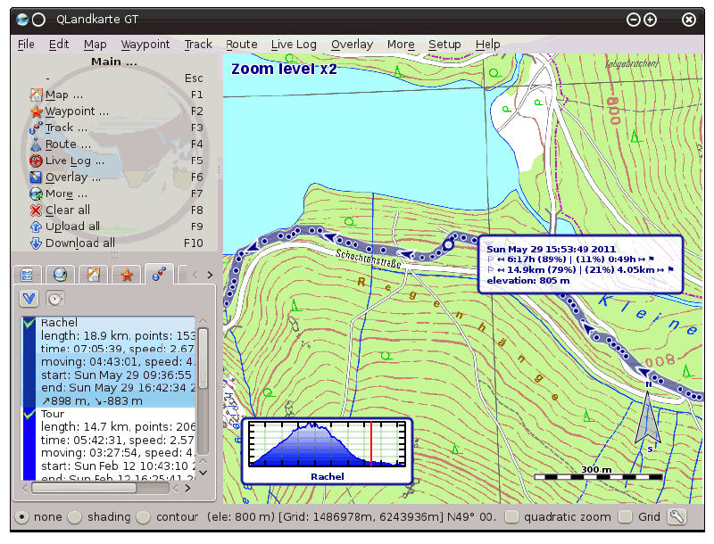
Besides displaying maps, QLandkarte GT is also able to visualize data acquired by a GPS device on the map. It can import a collection of GeoTiff files, convert raw bitmaps into GeoTiff files, as well as to export sub-area from GeoTiff files.
Among other features, QLandkarte GT allows users to create, edit, delete, move, exchange, save and load waypoints, display tracks on map, purge or delete trackpoints, edit track properties, as well as to save and load tracks as GPX or as QLandkarte binary.
Its modern and intuitive graphical user interface (GUI) helps you to quickly get started and easily generate maps suitable for devices with smaller screens. Maps can be moved, zoomed or centered, and you will also have instant access to maps, waypoints, tracks, routes and overlay sections, from the menubar, via keyboard shortcuts or tabs via the built-in, interactive sidebar.
Taking a look under the hood of QLandkarte GT, we can notice that the software was written entirely in the C++ programming language, using the cross-platform Qt GUI toolkit for its beautiful and modern graphical user interface. It’s distributed as a universal source tarball and a native installer for Windows. Both 32-bit and 64-bit hardware architectures are supported at this time.
It is a multiplatform application that supports all GNU/Linux distributions, as well as the Mac OS X and Microsoft Windows operating systems. Unfortunately, QLandkarte GT is no longer maintained and will be replaced soon by the QMapShack software, which can also be downloaded for free from Softpedia.
QLandkarte GT 1.8.1
add to watchlist add to download basket send us an update REPORT- runs on:
- Linux
- main category:
- Science
- developer:
- visit homepage
calibre 7.8.0

IrfanView 4.67

4k Video Downloader 1.5.2.0077 Plus / 4.30.0.5655

Zoom Client 6.0.0.37205

Microsoft Teams 24060.2623.2790.8046 Home / 1.7.00.7956 Work

Windows Sandbox Launcher 1.0.0

paint.net 5.0.13 (5.13.8830.42291)

ShareX 16.0.1

Bitdefender Antivirus Free 27.0.35.146

7-Zip 23.01 / 24.04 Beta

- ShareX
- Bitdefender Antivirus Free
- 7-Zip
- calibre
- IrfanView
- 4k Video Downloader
- Zoom Client
- Microsoft Teams
- Windows Sandbox Launcher
- paint.net