tangoGPS is a fast, easy to use and lightweight mapping application for use with or without GPS.. #Mapping application #GPS maps #Openmoko Neo #Openmoko #GPS #Maps
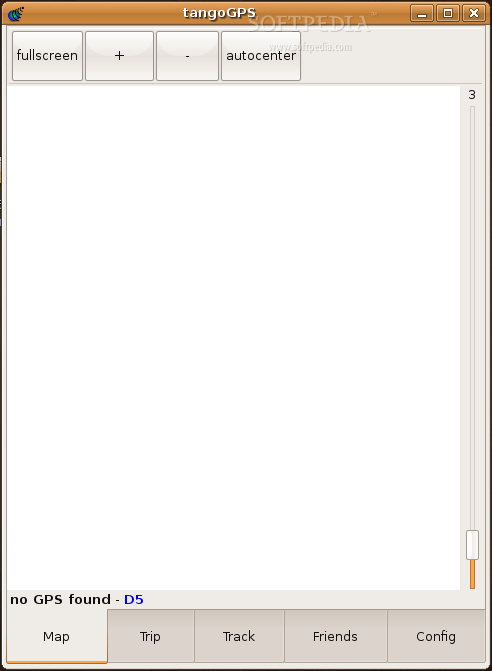
tangoGPS is a fast, easy to use and lightweight mapping application for use with or without GPS.
It runs on any Linux platform from the desktop over eeePC down to phones like the Openmoko Neo.
By default tangoGPS uses map data from the Openstreetmap project. Additionally a variety of other repositories can be easily added.
The maps are automagically downloaded and cached for offline use while you drag or zoom the map. Furthermore you can conveniently pre-cache areas with tangoGPS.
If connected to a GPS your current position and track are shown on the map and you can log positional data for further processing, i.e. for geocoding photos or uploading streets to Openstreetmap.
Geocoded images can be shown with the correct position on the map and you can mark your favourite locations and any points of interest on the map.
Last not least a friend finder function lets you exchange your position with others
Requirements:
· GTK+ >= 2.8.x · libcurl · gpsd
What's New in This Release:
· Full featured version, ready for end user use. Packages available for all major platforms and many different devices.
What's new in tangoGPS 0.99.4:
- support for heart rate sensor Zephyr HxM
- logging of heart rate in sync with gps track
- new translations
- more speed and usability
tangoGPS 0.99.4
add to watchlist add to download basket send us an update REPORT- runs on:
- Linux
- filename:
- tangogps-0.99.4.tar.gz
- main category:
- Science and Engineering
- developer:
- visit homepage
Zoom Client 6.0.3.37634

Windows Sandbox Launcher 1.0.0

Microsoft Teams 24060.3102.2733.5911 Home / 1.7.00.7956 Work

7-Zip 23.01 / 24.04 Beta

Bitdefender Antivirus Free 27.0.35.146

calibre 7.9.0

4k Video Downloader 1.5.3.0080 Plus / 4.30.0.5655

ShareX 16.0.1

Context Menu Manager 3.3.3.1

IrfanView 4.67

- ShareX
- Context Menu Manager
- IrfanView
- Zoom Client
- Windows Sandbox Launcher
- Microsoft Teams
- 7-Zip
- Bitdefender Antivirus Free
- calibre
- 4k Video Downloader